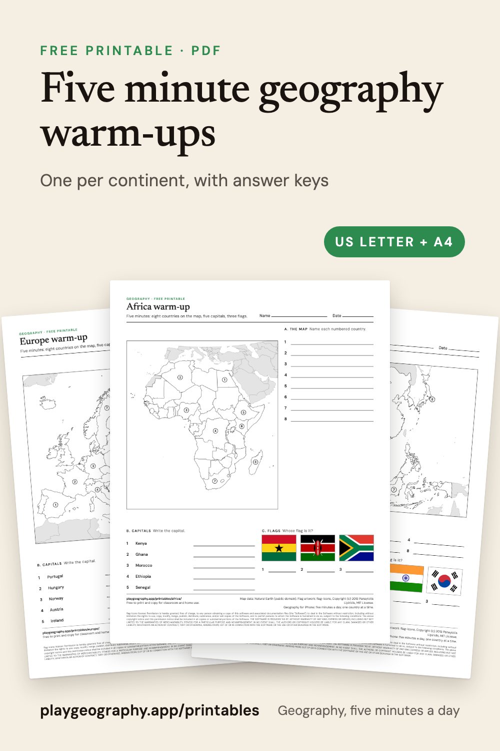
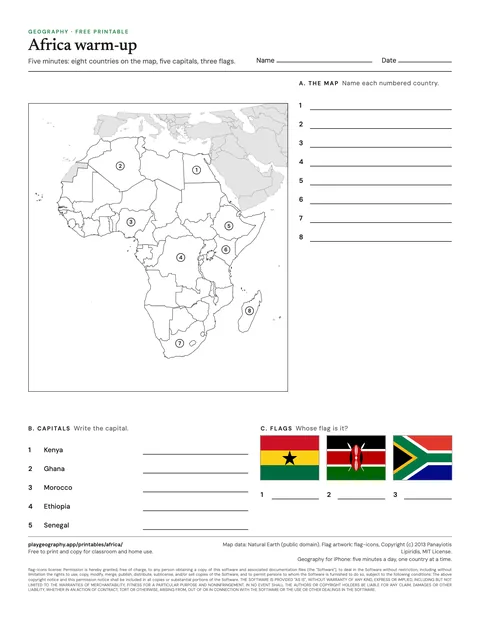
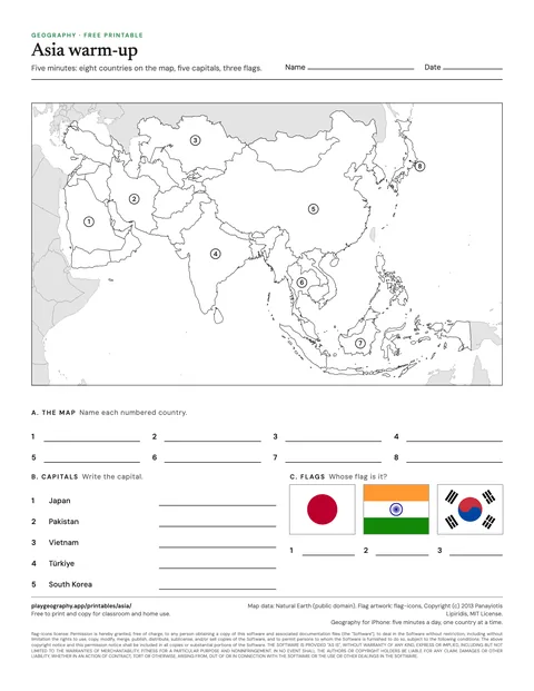
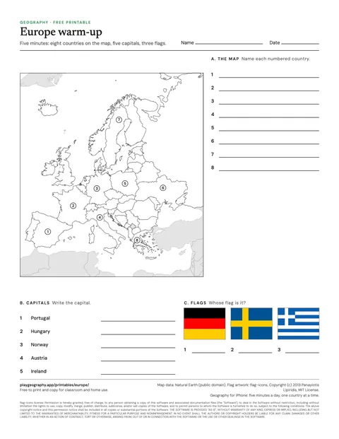
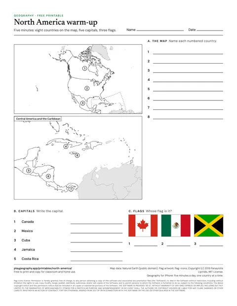
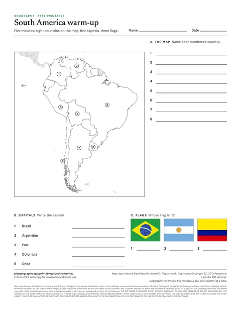
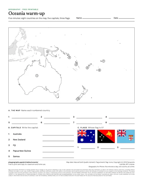
One page per continent: eight countries to find on the map, five capitals and three flags, with the answer key on page two. Free PDFs in US Letter and A4.
By Team Geography·Last reviewed
On this page
One five minute warm-up per continent.
Eight countries on the map, five capitals, three flags.
Answer key on page two of every PDF.
US Letter and A4.
Download
Africa five minute warm-up
Eight countries to find, five capitals and three flags. Page two is the answer key. 2 pages.
Each warm-up is one page and about five minutes: eight numbered countries to name on a map of the continent, five capitals to write, and three flags to identify. It is meant for the start of a lesson, a quick review at the end of a unit, or a homeschool morning. Page two of each PDF is the answer key.
The questions lean on the countries a learner is most likely to meet in the news and in books. If a class finishes early, the blank map of the same continent is the natural next step.
Yes. Every sheet is a free PDF with no sign up and no email address. You may print and copy them for your own classroom, homeschool or family. Each one comes in US Letter and A4, and the worksheets carry their answer key on the last page.
How do I print them so nothing is cut off?
Download the PDF that matches your paper, US Letter or A4, and print at actual size or 100 percent. Every sheet keeps half an inch of margin on all sides, so ordinary home and school printers reach every line. The maps print well in black and white; anything with flags needs color.
How long does a warm-up take?
About five minutes for most older students and adults: sixteen short answers on a single page. Younger classes can do the map section on its own, and the answer key on page two makes it easy to mark together.
Which countries do the sheets count?
The same 195 that every page on playgeography.app uses: the 193 UN member states plus the two UN observer states, Vatican City and Palestine. By continent that is Africa 54, Asia 48, Europe 44, North America 23, South America 12 and Oceania 14, following the UN geoscheme.