Download
Africa, 54 countries
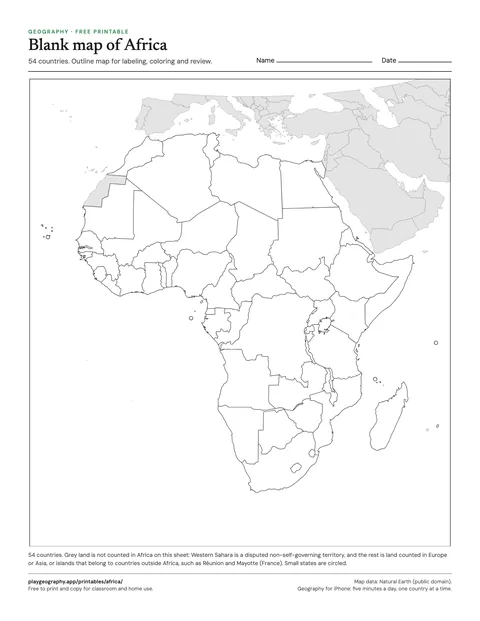
Blank map of Africa
Outline map of all 54 countries of Africa, no labels. For labeling, coloring and review.
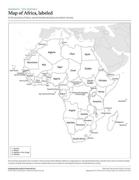
Map of Africa, labeled
Every country of Africa named on the map. Use it as the answer key for the blank map.
Asia, 48 countries
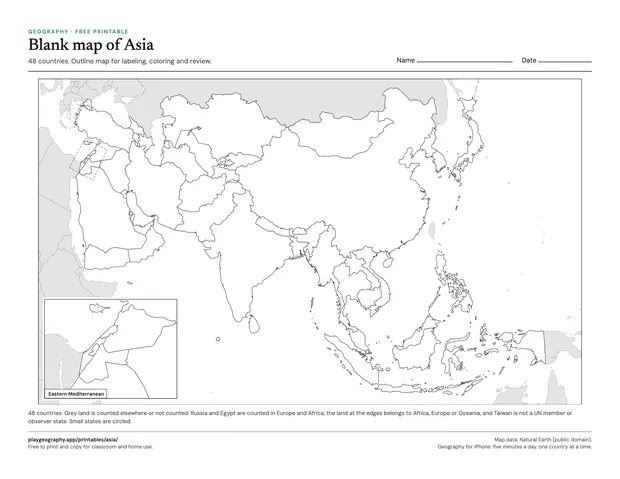
Blank map of Asia
Outline map of all 48 countries of Asia, no labels. For labeling, coloring and review.
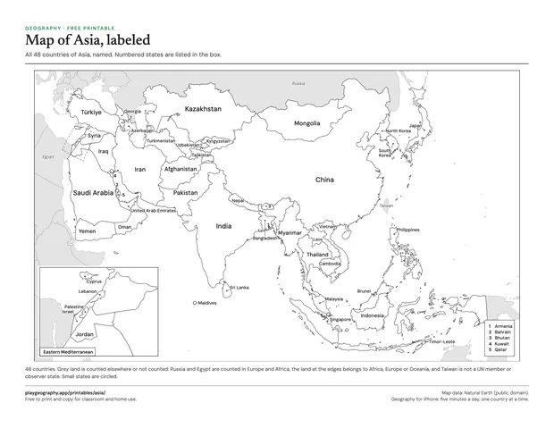
Map of Asia, labeled
Every country of Asia named on the map. Use it as the answer key for the blank map.
Europe, 44 countries
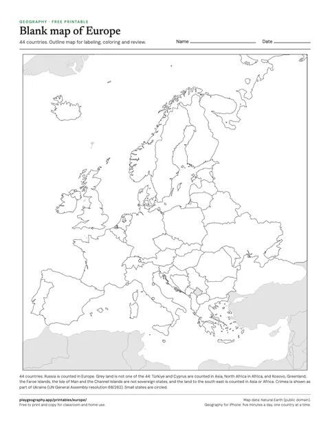
Blank map of Europe
Outline map of all 44 countries of Europe, no labels. For labeling, coloring and review.
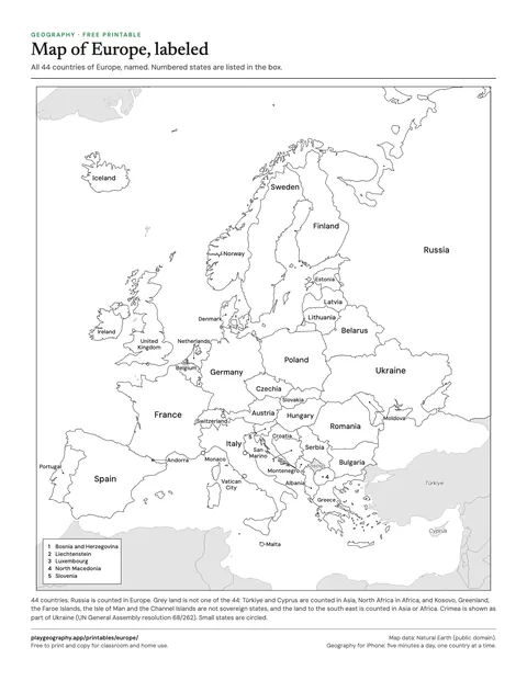
Map of Europe, labeled
Every country of Europe named on the map. Use it as the answer key for the blank map.
North America, 23 countries
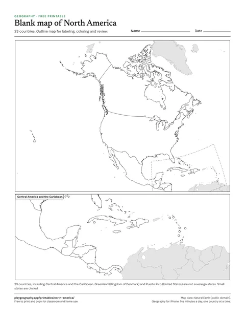
Blank map of North America
Outline map of all 23 countries of North America, no labels. For labeling, coloring and review.
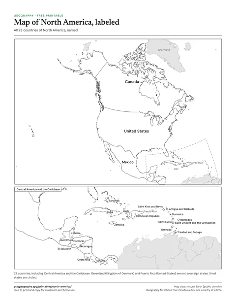
Map of North America, labeled
Every country of North America named on the map. Use it as the answer key for the blank map.
South America, 12 countries
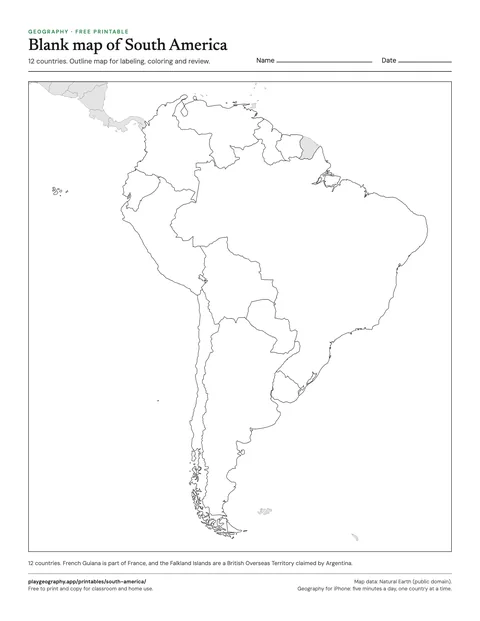
Blank map of South America
Outline map of all 12 countries of South America, no labels. For labeling, coloring and review.
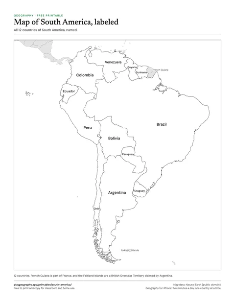
Map of South America, labeled
Every country of South America named on the map. Use it as the answer key for the blank map.
Oceania, 14 countries
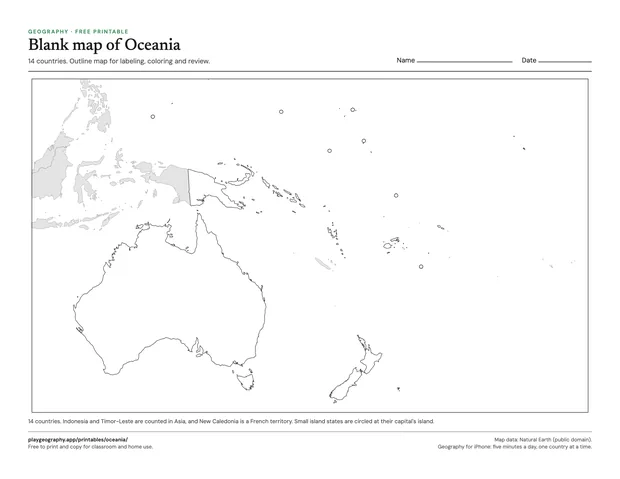
Blank map of Oceania
Outline map of all 14 countries of Oceania, no labels. For labeling, coloring and review.
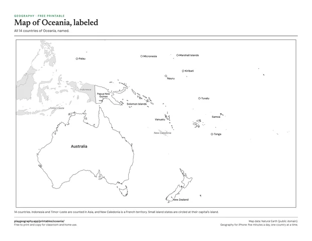
Map of Oceania, labeled
Every country of Oceania named on the map. Use it as the answer key for the blank map.
What each map shows
Every continent comes as a pair. The blank map outlines each country with no names, for labeling, coloring or a quick check of what a class already knows. The labeled map names every country and doubles as the answer key. Countries too small to see at the scale of the page, such as Andorra, Singapore or the island states of the Pacific, are circled so they cannot be missed.
Land that is not counted on a sheet is drawn in grey. That includes territories such as Greenland and French Guiana, and neighbors filed under another continent: Russia is counted in Europe, so on the Asia map it is grey. The note under each map says exactly what the grey land is. The North America map adds a larger panel for Central America and the Caribbean, and the Asia map one for the eastern Mediterranean, where the countries are too close together to name at continent scale.
Where the borders come from
The outlines are Natural Earth, a public domain map dataset used by atlases and newsrooms. Natural Earth draws borders as they are on the ground; these sheets change two places to follow the UN General Assembly: Crimea is drawn as part of Ukraine, and Western Sahara is drawn whole, as a disputed territory, rather than split. Kosovo and Taiwan are drawn but not counted, because neither is a UN member or observer state; is Taiwan a country? explains the distinction.