How it works Try a lens The library Explore Get started FAQ Download on the App Store →

PRINTABLES

Flags of the world, printable by continent

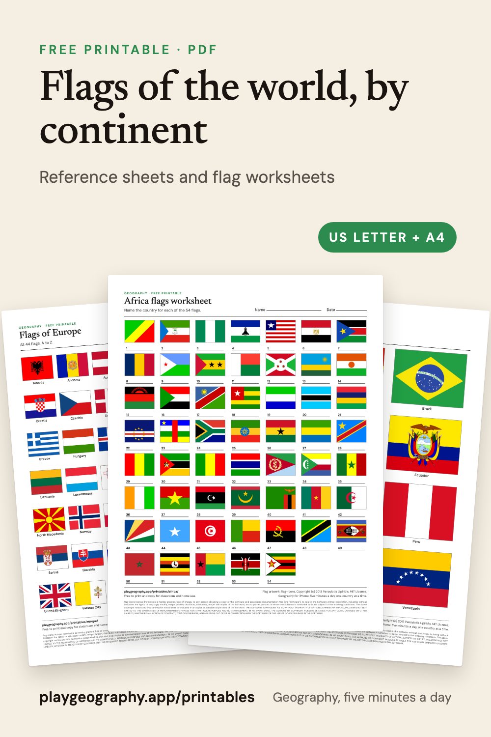
Every flag of every continent on one page, a shuffled flag worksheet with its answer key, and all 195 flags in one file. Free PDFs in US Letter and A4.

Flags of the world, by continent: preview of the printable sheets

On this page

  • Every flag of each continent, named, on one page.
  • A shuffled, numbered flag worksheet with its answer key.
  • All 195 flags of the world as one six page PDF.
  • US Letter and A4, best printed in color.

All 195 in one file

Preview of the Flags of the world sheet

Flags of the world

All 195 flags, one continent per page. 6 pages.

By continent

Africa, 54 flags

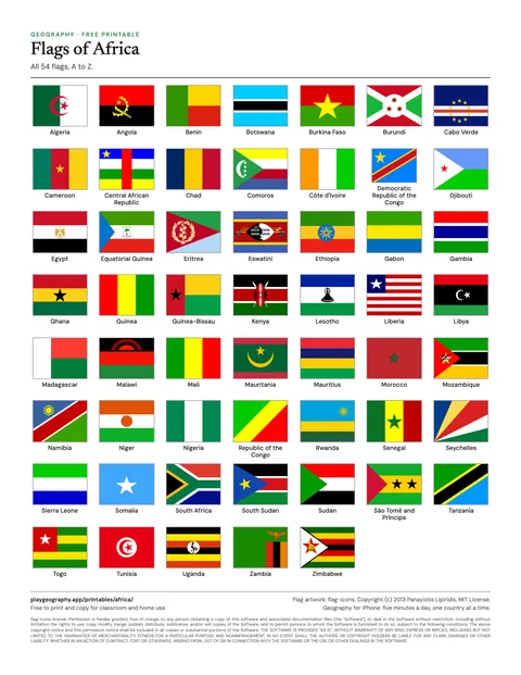
Preview of the Flags of Africa sheet

Flags of Africa

All 54 flags of Africa, named, in alphabetical order. 1 page.
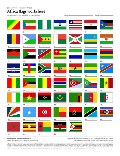
Preview of the Africa flags worksheet sheet

Africa flags worksheet

Name all 54 flags, in shuffled order. Page two is the answer key. 2 pages.

Asia, 48 flags

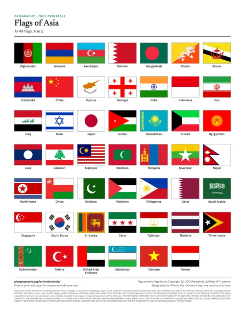
Preview of the Flags of Asia sheet

Flags of Asia

All 48 flags of Asia, named, in alphabetical order. 1 page.

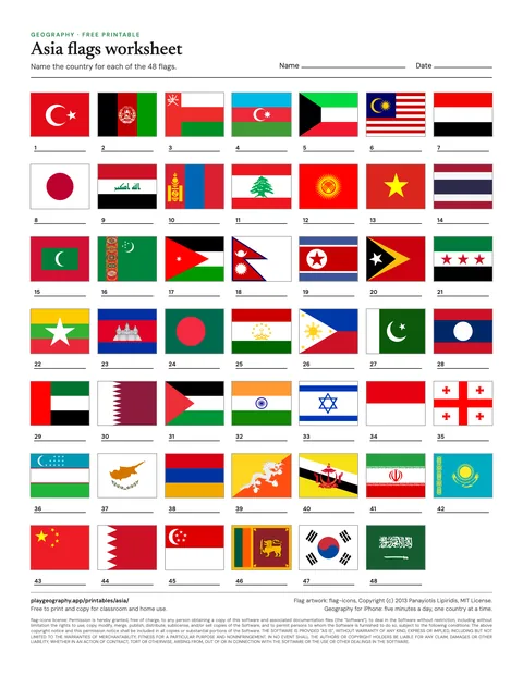
Preview of the Asia flags worksheet sheet

Asia flags worksheet

Name all 48 flags, in shuffled order. Page two is the answer key. 2 pages.

Europe, 44 flags

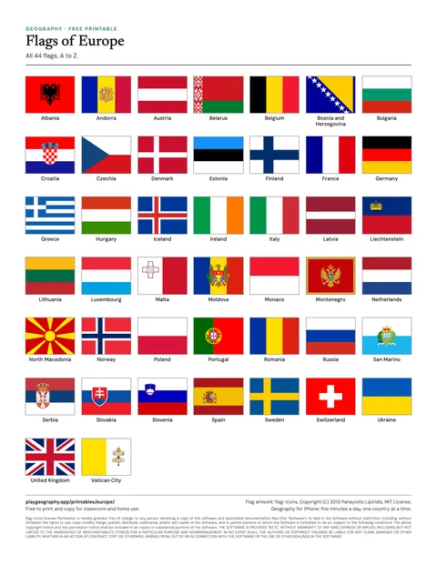
Preview of the Flags of Europe sheet

Flags of Europe

All 44 flags of Europe, named, in alphabetical order. 1 page.
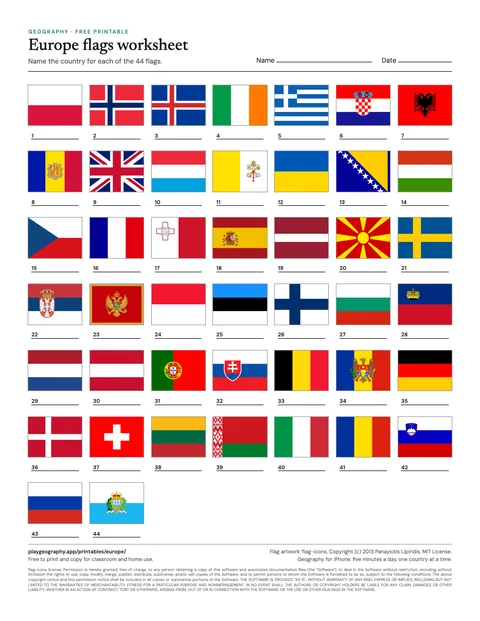
Preview of the Europe flags worksheet sheet

Europe flags worksheet

Name all 44 flags, in shuffled order. Page two is the answer key. 2 pages.

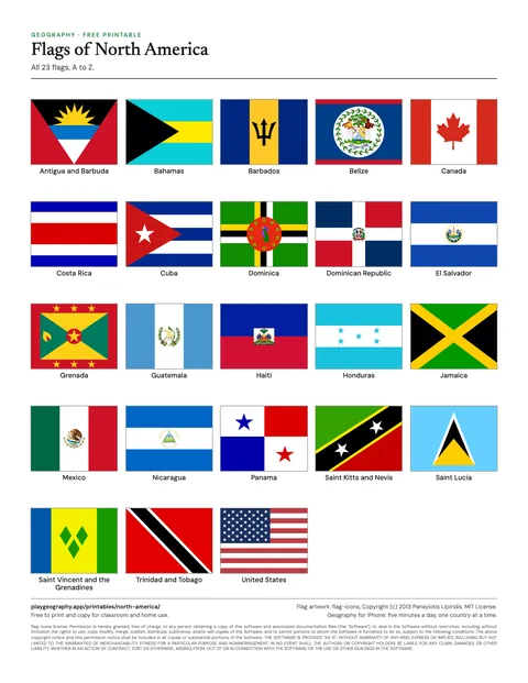
North America, 23 flags

Preview of the Flags of North America sheet

Flags of North America

All 23 flags of North America, named, in alphabetical order. 1 page.
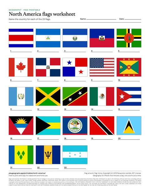
Preview of the North America flags worksheet sheet

North America flags worksheet

Name all 23 flags, in shuffled order. Page two is the answer key. 2 pages.

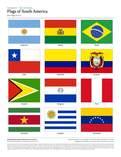
South America, 12 flags

Preview of the Flags of South America sheet

Flags of South America

All 12 flags of South America, named, in alphabetical order. 1 page.
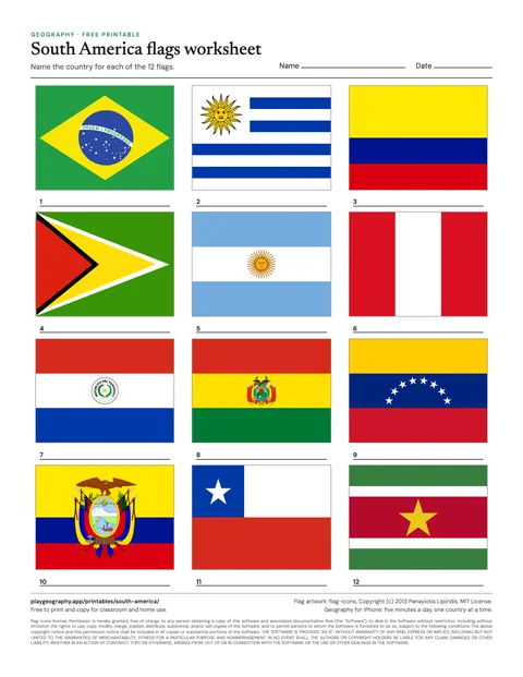
Preview of the South America flags worksheet sheet

South America flags worksheet

Name all 12 flags, in shuffled order. Page two is the answer key. 2 pages.

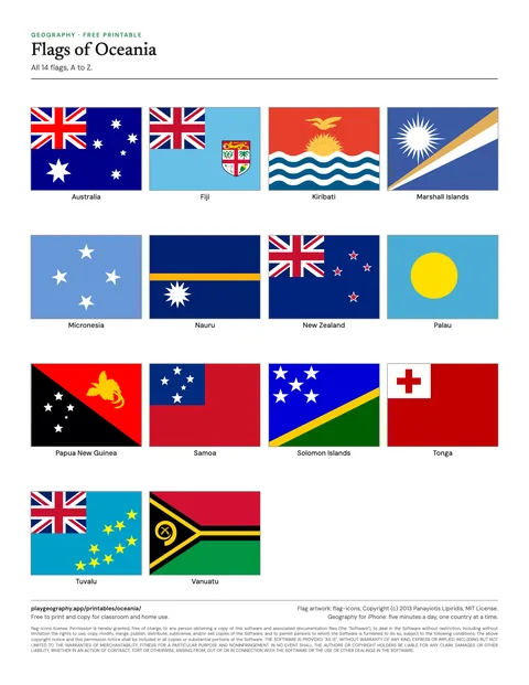
Oceania, 14 flags

Preview of the Flags of Oceania sheet

Flags of Oceania

All 14 flags of Oceania, named, in alphabetical order. 1 page.
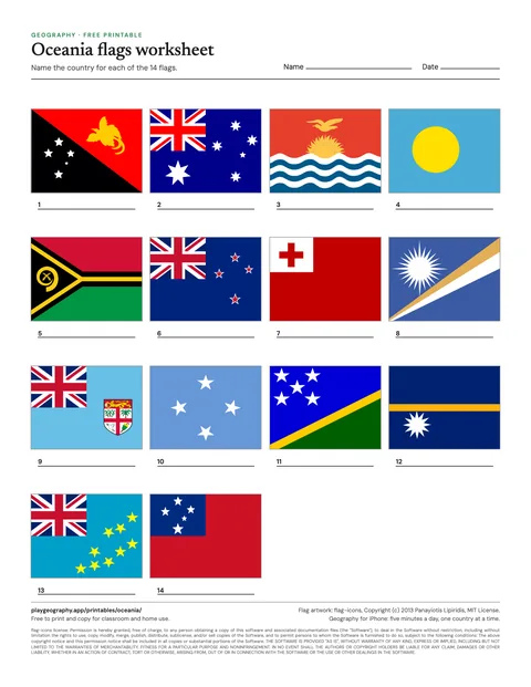
Preview of the Oceania flags worksheet sheet

Oceania flags worksheet

Name all 14 flags, in shuffled order. Page two is the answer key. 2 pages.

Using the flag sheets

The reference sheet shows every flag of a continent in alphabetical order with its country name. The worksheet shuffles the same flags and numbers them, with a blank line under each, so the order gives nothing away; the answer key on page two uses the same numbering. Flags print best in color.

Some pairs are near twins, which makes them good discussion material: Chad and Romania, Indonesia and Monaco, the Netherlands and Luxembourg. Countries with similar flags sets them side by side, and why countries have flags is a short read for the start of a lesson.

Common questions

Are these printables really free?
Yes. Every sheet is a free PDF with no sign up and no email address. You may print and copy them for your own classroom, homeschool or family. Each one comes in US Letter and A4, and the worksheets carry their answer key on the last page.
Which countries do the sheets count?
The same 195 that every page on playgeography.app uses: the 193 UN member states plus the two UN observer states, Vatican City and Palestine. By continent that is Africa 54, Asia 48, Europe 44, North America 23, South America 12 and Oceania 14, following the UN geoscheme.
Where do the flag images come from?
The flags are drawn from flag-icons, an open source set of country flags by Panayiotis Lipiridis, used under the MIT License. The license text is printed on every page that shows a flag. The flag set is the same one the flag quiz on this site uses.
Do I need a color printer?
For anything with flags, yes: a flag printed in grey loses most of what makes it recognizable. The maps and the map worksheets are designed in black and grey and print cleanly on any printer.

Keep exploring